Location
Rouvas Gorge
Zaros, Heraklion
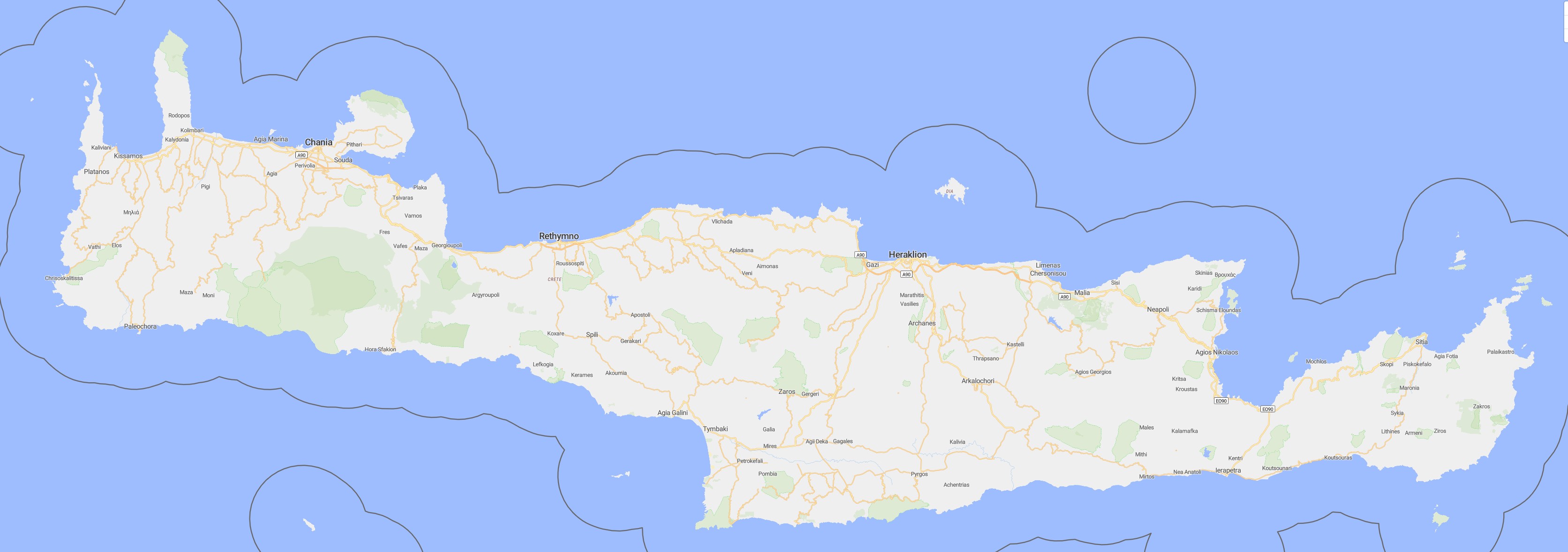
Rouvas Gorge – Zaros, Heraklion
Rouvas Gorge (Φαράγγι Ρούβα) is located in the Heraklion region, north of the village of Zaros, within the Psiloritis massif. It is one of the most important gorges of central Crete, leading from the area around Lake Votomos up to the high-altitude Rouvas Forest — a unique natural oak forest. The trail is well marked and relatively demanding, with its defining feature being the diversity of landscapes, ranging from a moist valley to narrow rocky sections and high-mountain vegetation.
Description
Rouvas Gorge has a character very different from the typical canyons of western or southern Crete. Instead of sheer limestone walls, the landscape here is more varied: moist sections, terraced vegetation, dense woodland, and stretches of steep ascent along rocky scree. The trail begins near Lake Votomos, in a shaded, overgrown setting that has been used for cultivation and livestock for centuries — the presence of water is a constant feature of this landscape.
The initial sections of the gorge follow the bed of a stream, whose flow changes with the seasons. In spring, water runs vigorously, forming small cascades; in summer, the stream often disappears, leaving a dry, stony channel behind. As the gorge gradually narrows, the path becomes more mountainous in character, with natural steps, rocky ledges, and sections that require sustained uphill effort.
The most important point along the route is Rouvas Forest — a high-lying basin where a natural forest of Cretan oak (Quercus ilex) has survived. This is one of the most environmentally valuable sites on the island. Surrounded by the ridges of Psiloritis, the forest is a rare remnant of the denser vegetation that once covered the interior of Crete. Among the oaks grow numerous herbs, aromatic plants, and species that require more moisture than the island’s average climate typically provides.
Rouvas Gorge was traditionally used as a passage between the Zaros valley and the higher pastures. Its economic importance in the past stemmed from the availability of water and its relatively gentle gradient compared to most Cretan mountain passes. Along the trail, traces of former human activity can still be seen: stone walls, remnants of old paths, and places once used for herding livestock.
The landscape changes noticeably with elevation. In the lower part of the gorge, plane trees and maquis shrubs dominate; higher up, pines appear, and eventually the characteristic Rouvas oaks form a semi-wild forest unique to this area. Views opening toward the Psiloritis massif are a reminder that the gorge is part of a larger geographical system, shaped over thousands of years by water, wind, and tectonic movement.
Today, Rouvas Gorge is one of the most highly regarded trails in central Crete — not because of dramatic rock formations, but due to its exceptional combination of nature, historical land use, and environmental diversity. It reveals a more “inner” Crete: an island that is both rugged and fertile, shaped not only by the sea but also by its massive interior mountains.
Location
Zaros, Heraklion
Coordinates: 35.14142, 24.90604